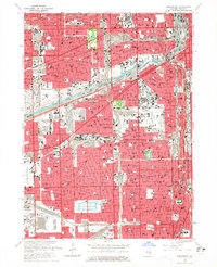
1963 Map of Englewood
USGS Topo · Published 1965About this map
The industrial and residential grid of the Chicago South Side and adjacent Cicero is documented here during a period of massive expressway expansion. The Eisenhower Expressway, Stevenson Expressway, and Dan Ryan Expressway carve through dense urban blocks, intersecting a complex rail network that includes the Wabash, Illinois Central, and Indiana Harbor Belt lines. The landscape is dominated by heavy infrastructure, from the Chicago Sanitary and Ship Canal to the rail yards surrounding the Elsdon settlement.
Find a feature on this map
116 named features on this map. Tap any name to fly to it.
Don’t see what you’re looking for? This feature index may not catch every label — zoom into the map to look around manually.
Map Details
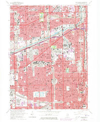
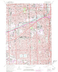
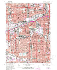
Editions of this 1963 Englewood Map
4 editions found
Other maps of this area

1889 · Chicago
USGS Topo · 1:62,500

1890 · Des Plaines
USGS Topo · 1:62,500

1891 · Chicago
USGS Topo · 1:62,500

1891 · Riverside
USGS Topo · 1:62,500

1892 · Calumet
USGS Topo · 1:62,500

1893 · Calumet
USGS Topo · 1:62,500

1893 · Riverside
USGS Topo · 1:62,500

1894 · Des Plaines
USGS Topo · 1:62,500

1900 · Chicago
USGS Topo · 1:62,500

1900 · Des Plaines
USGS Topo · 1:62,500