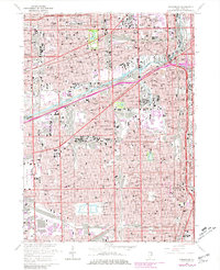
1963 Map of Englewood
USGS Topo · Published 1981About this map
Chicago's industrial and residential density is on full display in this 1960s era survey, capturing the South Side's complex web of rail yards and neighborhoods. The landscape is dominated by the Chicago Sanitary and Ship Canal and the South Branch Chicago River, which served as the arteries for the city's manufacturing might. Significant cultural and civic landmarks like Comiskey Park and the International Amphitheatre anchor the social geography of the era, while the vast expanse of Marquette Park and Douglas Park provide essential open space amidst the tightly packed street grids.
Find a feature on this map
267 named features on this map. Tap any name to fly to it.
Don’t see what you’re looking for? This feature index may not catch every label — zoom into the map to look around manually.
Map Details
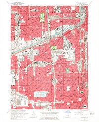
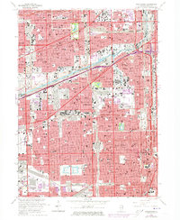
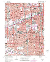
Editions of this 1963 Englewood Map
4 editions found
Other maps of this area

1889 · Chicago
USGS Topo · 1:62,500

1890 · Des Plaines
USGS Topo · 1:62,500

1891 · Chicago
USGS Topo · 1:62,500

1891 · Riverside
USGS Topo · 1:62,500

1892 · Calumet
USGS Topo · 1:62,500

1893 · Calumet
USGS Topo · 1:62,500

1893 · Riverside
USGS Topo · 1:62,500

1894 · Des Plaines
USGS Topo · 1:62,500

1900 · Chicago
USGS Topo · 1:62,500

1900 · Des Plaines
USGS Topo · 1:62,500