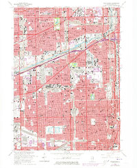
1963 Map of Englewood
USGS Topo · Published 1973About this map
Chicago Midway Airport and the dense industrial rail yards of the Grand Trunk Western and Belt Railway of Chicago anchor this mid-century portrait of Chicago's Southwest Side. The map reveals an intricate network of neighborhood life centered around parochial institutions such as St Rita High Sch and St Casimir High Sch, reflecting the strong community and religious identity of areas like Englewood and Elsdon during this era. Heavy industry and transport corridors define the landscape, with the Chicago Sanitary and Ship Canal and the infamous Bubbly Creek cutting through the urban grid near the International Amphitheatre. Amidst the warehouses and tracks, significant green spaces like Marquette Park, Sherman Park, and Ogden Park provide the primary recreational outlets for these densely populated South Side wards.
Find a feature on this map
224 named features on this map. Tap any name to fly to it.
Don’t see what you’re looking for? This feature index may not catch every label — zoom into the map to look around manually.
Map Details
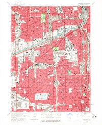
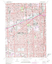
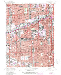
Editions of this 1963 Englewood Map
4 editions found
Other maps of this area

1889 · Chicago
USGS Topo · 1:62,500

1890 · Des Plaines
USGS Topo · 1:62,500

1891 · Chicago
USGS Topo · 1:62,500

1891 · Riverside
USGS Topo · 1:62,500

1892 · Calumet
USGS Topo · 1:62,500

1893 · Calumet
USGS Topo · 1:62,500

1893 · Riverside
USGS Topo · 1:62,500

1894 · Des Plaines
USGS Topo · 1:62,500

1900 · Chicago
USGS Topo · 1:62,500

1900 · Des Plaines
USGS Topo · 1:62,500