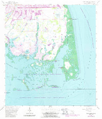
1957 Map of Englewood NW
USGS Topo · Published 1988This historical map portrays the area of Englewood NW in 1957, primarily covering Charlotte County as well as portions of Sarasota County. Featuring a scale of 1:24000, this map provides a highly detailed snapshot of the terrain, roads, buildings, counties, and historical landmarks in the Englewood NW region at the time. Published in 1988, it is the sole known edition of this map.
Map Details
Editions of this 1957 Englewood NW Map
This is the sole edition of this map. No revisions or reprints were ever made.
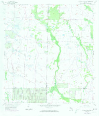
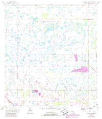
Historical Maps of North Port Through Time
11 maps found
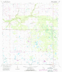
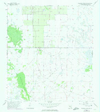
1956 Bermont
Charlotte County, FL
1956 Punta Gorda Se
Charlotte County, FL
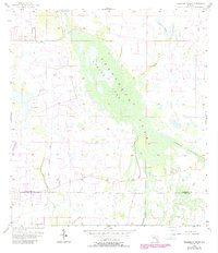
1956 Telegraph Swamp
Charlotte County, FL
1956 Telegraph Swamp NW
Charlotte County, FL
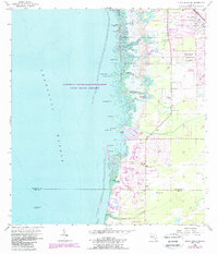
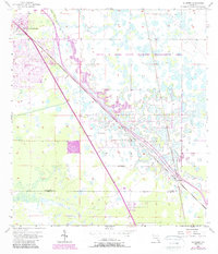
1957 El Jobean
Charlotte County, FL
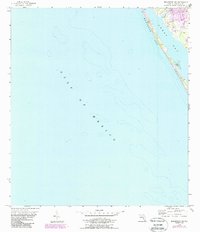
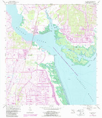
1957 Englewood NW
Charlotte County, FL
1957 Gilchrist
Charlotte County, FL
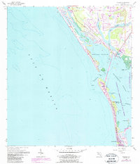
1957 Placida
Charlotte County, FL
1957 Punta Gorda Sw
Charlotte County, FL
1957 Telegraph Swamp SE
Charlotte County, FL
1957 Tuckers Corner
Charlotte County, FL