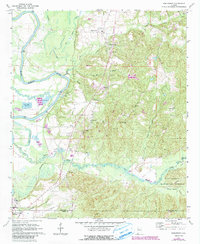
1970 Map of Englewood
USGS Topo · Published 1985About this map
Mound State Mon and the northern edge of Moundville anchor the southwestern corner of this survey, where the Black Warrior River loops through the bottomlands. The landscape transitions from the river's floodplains and fish hatcheries near McPherson Landing to the wooded hills of the Talladega National Forest in the east. The Southern Railway cuts a corridor through the center, serving small rural communities such as Hull and Maxwell.
Find a feature on this map
38 named features on this map. Tap any name to fly to it.
Don’t see what you’re looking for? This feature index may not catch every label — zoom into the map to look around manually.
Map Details
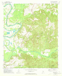
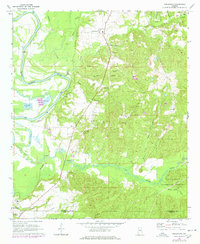
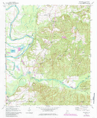
Editions of this 1970 Englewood Map
4 editions found
Other maps of this area

1899 · Brookwood
USGS Topo · 1:125,000

1924 · Tuscaloosa
USGS Topo · 1:62,500

1926 · Tuscaloosa
USGS Topo · 1:62,500

1931 · Cottondale
USGS Topo · 1:48,000

1934 · Cottondale
USGS Topo · 1:62,500

1953 · Montgomery
USGS Topo · 1:250,000

1953 · Birmingham
USGS Topo · 1:250,000

1956 · Birmingham
USGS Topo · 1:250,000

1956 · Montgomery
USGS Topo · 1:250,000

1957 · Birmingham
USGS Topo · 1:250,000