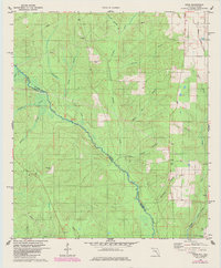
1978 Map of Enon
USGS Topo · Published 1985About this map
The Perdido River serves as the winding boundary between Florida and Alabama in this late-1970s landscape, separating Escambia and Baldwin counties. The settlement of Enon sits on the eastern side, characterized by a water tank and several industrial claypits nearby. Further south, the curiously named settlement of Nuke appears near the map's edge, while the interior is defined by a dense network of tributaries including Brushy Creek, Gap Narrow Creek, and Schoolhouse Branch.
Find a feature on this map
25 named features on this map. Tap any name to fly to it.
Don’t see what you’re looking for? This feature index may not catch every label — zoom into the map to look around manually.
Map Details
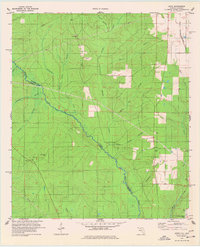
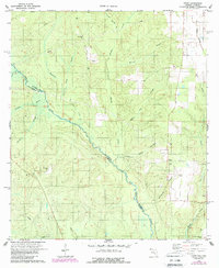
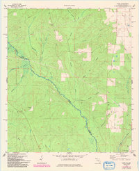
Editions of this 1978 Enon Map
4 editions found
Other maps of this area

1920 · Robertsdale
USGS Topo · 1:62,500

1921 · Muscogee
USGS Topo · 1:62,500

1941 · Muscogee
USGS Topo · 1:62,500

1941 · Robertsdale
USGS Topo · 1:62,500

1941 · Century
USGS Topo · 1:62,500

1942 · Dyas
USGS Topo · 1:62,500

1943 · Robertsdale
USGS Topo · 1:62,500

1943 · Muscogee
USGS Topo · 1:62,500

1943 · Century
USGS Topo · 1:62,500

1944 · Dyas
USGS Topo · 1:62,500