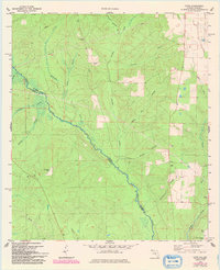
1978 Map of Enon
USGS Topo · Published 1993About this map
The Perdido River serves as the prominent natural boundary between Florida and Alabama, winding through a landscape defined by its network of minor tributaries and creek systems. Small rural hubs like Enon and Nuke anchor the area, which was meticulously updated in the early 1990s based on aerial surveys from the mid-1970s and 1980s. Local history and genealogy are anchored by landmarks such as Holly Grove Cem and Dry Springs Ch, alongside several water features like Brushy Creek and Reedy Creek that drain the timbered and agricultural interior.
Find a feature on this map
24 named features on this map. Tap any name to fly to it.
Don’t see what you’re looking for? This feature index may not catch every label — zoom into the map to look around manually.
Map Details
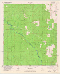
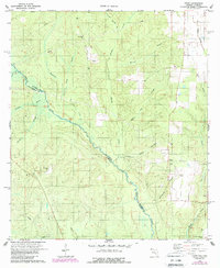
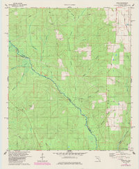
Editions of this 1978 Enon Map
4 editions found
Other maps of this area

1920 · Robertsdale
USGS Topo · 1:62,500

1921 · Muscogee
USGS Topo · 1:62,500

1941 · Muscogee
USGS Topo · 1:62,500

1941 · Robertsdale
USGS Topo · 1:62,500

1941 · Century
USGS Topo · 1:62,500

1942 · Dyas
USGS Topo · 1:62,500

1943 · Robertsdale
USGS Topo · 1:62,500

1943 · Muscogee
USGS Topo · 1:62,500

1943 · Century
USGS Topo · 1:62,500

1944 · Dyas
USGS Topo · 1:62,500