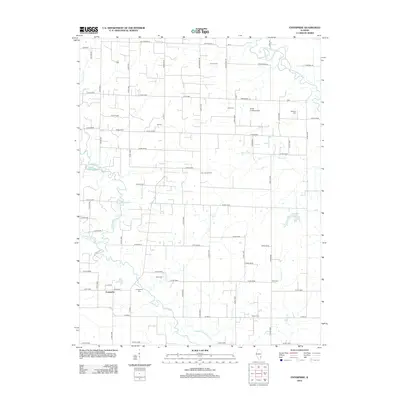
2012 Map of Enterprise
USGS Topo · Published 2012About this map
The Enterprise settlement serves as the focal point for this rural Illinois landscape, situated at the crossroads of several local thoroughfares. To the north and east, the Clay City Oil Field reveals the industrial footprint of the region's energy resources, while the Smith Landing Field indicates local aviation activity. The terrain is defined by the winding course of the Little Wabash River and its various tributaries, including Elm River, Sycamore Cr, and Emmons Cr. This area is particularly dense with genealogical sites, including many family-named burial grounds like Barnes Cem, Wells Cem, and Williams Cem. The map illustrates a well-organized grid of county roads, such as Co HWY-1 and Big Four Rd, which link the various homesteads and the Evangelical Cem to the central community of Enterprise.
Find a feature on this map
71 named features on this map. Tap any name to fly to it.
Don’t see what you’re looking for? This feature index may not catch every label — zoom into the map to look around manually.
Map Details
Editions of this 2012 Enterprise Map
This is the sole edition of this map. No revisions or reprints were ever made.
Other maps of this area

1943 · Albion
USGS Topo · 1:62,500

1946 · Albion
USGS Topo · 1:62,500

1948 · Fairfield
USGS Topo · 1:62,500

1948 · Flora
USGS Topo · 1:62,500

1949 · Olney
USGS Topo · 1:62,500

1949 · Flora
USGS Topo · 1:62,500

1958 · Belleville
USGS Topo · 1:250,000

1962 · Belleville
USGS Topo · 1:250,000

1970 · Clay City
USGS Topo · 1:24,000

1970 · Enterprise
USGS Topo · 1:24,000