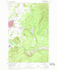
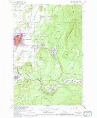
1956 Map of Enumclaw
USGS Topo · Published 1969About this map
The city of Enumclaw serves as a transition point between the Puget Sound lowlands and the Cascades, shown here during a period of urban expansion in the late 1960s. The Northern Pacific Railroad corridor anchors the town’s layout, connecting nearby settlements like Veazey and Krain to the broader regional economy. Industrial activity is visible at the Upper Mill, which utilized a network of Flumes and a Millpond east of the city center. South of town, the landscape is defined by the steep climb to Pinnacle Peak and the engineered control of the White River. The massive Mud Mtn Dam Spillway and the nearby Observation House overlook the river valley, marking a major investment in flood control and infrastructure that reshaped the King and Pierce county line. This survey captures the town's growth into formerly rural areas, identified by purple-tinted additions that surround older landmarks like the Byron Kibler School.
Find a feature on this map
50 named features on this map. Tap any name to fly to it.
Don’t see what you’re looking for? This feature index may not catch every label — zoom into the map to look around manually.
Map Details
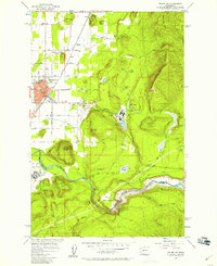
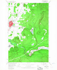
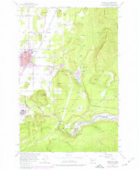
Editions of this 1956 Enumclaw Map
5 editions found
Other maps of this area

1897 · Tacoma
USGS Topo · 1:125,000

1900 · Tacoma
USGS Topo · 1:125,000

1913 · Cedar Lake
USGS Topo · 1:125,000

1942 · Lake Tapps
USGS Topo · 1:62,500

1944 · Lake Tapps
USGS Topo · 1:62,500

1949 · Black Diamond
USGS Topo · 1:24,000

1953 · Eagle Gorge
USGS Topo · 1:24,000

1953 · Cumberland
USGS Topo · 1:24,000
1956 · Buckley
USGS Topo · 1:24,000
1956 · Wilkeson
USGS Topo · 1:24,000