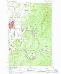
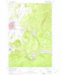
1956 Map of Enumclaw
USGS Topo · Published 1991About this map
Industrial and agricultural development defines the landscape surrounding Enumclaw during the mid-20th century. The town center serves as a hub for local education and entertainment, featuring the Byron Kibler School and a Drive-in Theater along the highway. To the east, the timber and industrial presence is marked by the Upper Mill and its associated Millpond, where a network of Flumes and railroad spurs manage timber resources. This 1956 survey also captures the massive engineering of the Mud Mtn Dam and the resulting Mud Mountain Lake along the White River, a significant flood-control project on the King and Pierce county line.
Find a feature on this map
56 named features on this map. Tap any name to fly to it.
Don’t see what you’re looking for? This feature index may not catch every label — zoom into the map to look around manually.
Map Details
Editions of this 1956 Enumclaw Map
5 editions found
Other maps of this area

1897 · Tacoma
USGS Topo · 1:125,000

1900 · Tacoma
USGS Topo · 1:125,000

1913 · Cedar Lake
USGS Topo · 1:125,000

1942 · Lake Tapps
USGS Topo · 1:62,500

1944 · Lake Tapps
USGS Topo · 1:62,500

1949 · Black Diamond
USGS Topo · 1:24,000

1953 · Eagle Gorge
USGS Topo · 1:24,000

1953 · Cumberland
USGS Topo · 1:24,000
1956 · Buckley
USGS Topo · 1:24,000
1956 · Wilkeson
USGS Topo · 1:24,000