Loading...
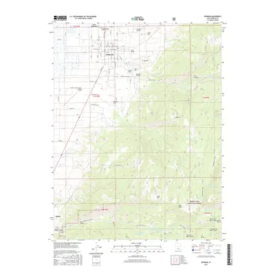
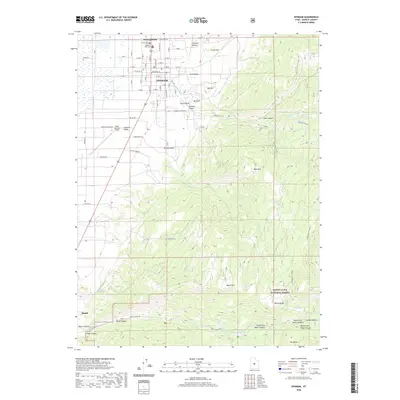
Loading map...2001 Map of Ephraim
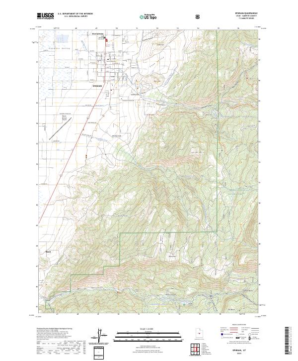
USGS Topo · Published 2004About this map
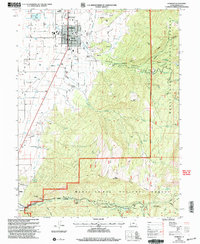
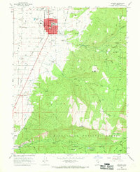
Ephraim and Manti anchor this detailed look at the Sanpete Valley at the start of the 21st century. The map illustrates the transition from the structured street grid of the valley floor, where Snow College and the Park Cem are located, into the steep drainage systems of the Manti-La Sal National Forest. To the west, the Manti-Ephraim Airport and a Drive-in Theatre indicate the mid-century infrastructure supporting the growing communities of West Ephraim and its neighbors.
Find a feature on this map
55 named features on this map. Tap any name to fly to it.
Don’t see what you’re looking for? This feature index may not catch every label — zoom into the map to look around manually.
Map Details
Date Portrayed2001
Date Published2004
PublisherU.S. Geological Survey
Map TypeTopographic
Scale1:24,000
Physical Dimensions21.9 x 26.7 inches
Editions of this 2001 Ephraim Map
This is the sole edition of this map. No revisions or reprints were ever made.
Historical Maps of Ephraim Through Time
7 maps found
Featured Locations
Source Details
SourceU.S. Geological Survey
CopyrightPublic Domain