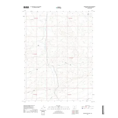
2017 Map of Erickson-Kent Ranch
USGS Topo · Published 2017About this map
The Erickson-Kent Ranch anchors this high-desert landscape in Sweetwater County, where the drainage of E Salt Wells Cr cuts through a series of prominent topographic depressions including Brooks Draw and East Draw. The area is characterized by ranching infrastructure and remote access routes such as Moses Ranch Rd and Rife Ranch Rd, which connect isolated homesteads across the townships. To the south, the terrain rises toward Rifes Rim, a significant geological feature overlooking the lower basins. The map detail reflects the persistence of cattle-ranching heritage in Wyoming, documenting the essential relationship between sparse water sources like the creek and the naming of the surrounding terrain, from Scheggs Draw to West Draw.
Find a feature on this map
20 named features on this map. Tap any name to fly to it.
Don’t see what you’re looking for? This feature index may not catch every label — zoom into the map to look around manually.
Map Details
Editions of this 2017 Erickson-Kent Ranch Map
This is the sole edition of this map. No revisions or reprints were ever made.
Other maps of this area

1954 · Rock Springs
USGS Topo · 1:250,000

1958 · Rock Springs
USGS Topo · 1:250,000

1962 · Rock Springs
USGS Topo · 1:250,000
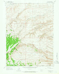
1963 · Four J Rim
USGS Topo · 1:24,000
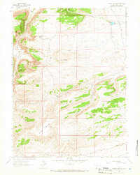
1963 · Potter Mountain
USGS Topo · 1:24,000
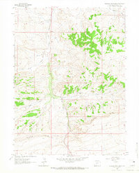
1963 · Erickson-Kent Ranch
USGS Topo · 1:24,000
1963 · Scrivner Butte
USGS Topo · 1:24,000
1968 · Chicken Creek SW
USGS Topo · 1:24,000
1968 · Mud Springs Ranch
USGS Topo · 1:24,000
1968 · Pine Butte
USGS Topo · 1:24,000