
1957 Map of Erie South
USGS Topo · Published 1959About this map
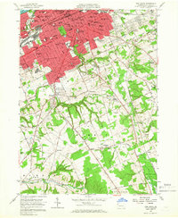
Erie expands southward in the late 1950s, revealing a dense urban grid that gives way to the burgeoning suburbs of Kearsarge and Belle Valley. The city's social and educational infrastructure is remarkably detailed, featuring institutions like Villa Maria College, Cathedral Prep High Sch, and St Vincents Hospital. The southern half of the map transitions into the rolling terrain of Summit and Mill Creek townships, where the landscape is defined by the headwaters of Walnut Creek and Le Boeuf Creek.
Find a feature on this map
95 named features on this map. Tap any name to fly to it.
Don’t see what you’re looking for? This feature index may not catch every label — zoom into the map to look around manually.
Map Details
Editions of this 1957 Erie South Map
4 editions found
Other maps of this area

1899 · Erie
USGS Topo · 1:62,500

1900 · Erie
USGS Topo · 1:62,500

1913 · North East
USGS Topo · 1:62,500

1915 · North East
USGS Topo · 1:62,500

1923 · Cambridge Springs
USGS Topo · 1:62,500

1925 · Cambridge Springs
USGS Topo · 1:62,500

1929 · Union City
USGS Topo · 1:62,500

1932 · Union City
USGS Topo · 1:62,500

1943 · North East
USGS Topo · 1:62,500

1943 · Cambridge Springs
USGS Topo · 1:62,500