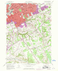
1957 Map of Erie South
USGS Topo · Published 1970About this map
Lake Erie defines the northern edge of this landscape, where the urban density of Erie transitions into the rising terrain of Chestnut Hill and the Weber Hills. The map documents a significant mid-century educational and religious infrastructure, anchored by institutions like Villa Maria College and Mercyhurst College, alongside numerous parochial schools such as St Johns Sch and St Lukes Sch. The southern half of the quadrangle reveals the rural character of Summit, Greene, and Waterford townships, where the suburban expansion of Kearsarge and Belle Valley begins to give way to agricultural land and the State Game Lands No 109. The transportation network is dominated by the Penn Central corridors and the Norfolk And Western line, which served the industrial base of the lakefront and connected the interior settlements like Langdon and Godard to the city core.
Find a feature on this map
86 named features on this map. Tap any name to fly to it.
Don’t see what you’re looking for? This feature index may not catch every label — zoom into the map to look around manually.
Map Details
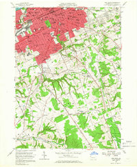
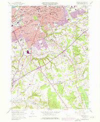
Editions of this 1957 Erie South Map
4 editions found

Other maps of this area

1899 · Erie
USGS Topo · 1:62,500

1900 · Erie
USGS Topo · 1:62,500

1913 · North East
USGS Topo · 1:62,500

1915 · North East
USGS Topo · 1:62,500

1923 · Cambridge Springs
USGS Topo · 1:62,500

1925 · Cambridge Springs
USGS Topo · 1:62,500

1929 · Union City
USGS Topo · 1:62,500

1932 · Union City
USGS Topo · 1:62,500

1943 · North East
USGS Topo · 1:62,500

1943 · Cambridge Springs
USGS Topo · 1:62,500