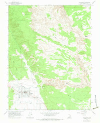
1964 Map of Escalante
USGS Topo · Published 1983About this map
Escalante sits at the confluence of desert canyons and high forest, serving as a vital hub for the surrounding plateau country in the mid-1960s. The town's grid is clearly defined, featuring local landmarks such as the High Sch, a cemetery, and infrastructure including Water Tanks and a Substation. To the south, a Landing Strip and a Gaging Station on the Escalante River reflect the technical needs of this isolated Garfield County outpost.
Find a feature on this map
26 named features on this map. Tap any name to fly to it.
Don’t see what you’re looking for? This feature index may not catch every label — zoom into the map to look around manually.
Map Details
Editions of this 1964 Escalante Map
2 editions found
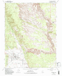
Other maps of this area

1886 · Escalante
USGS Topo · 1:250,000

1956 · Escalante
USGS Topo · 1:250,000

1960 · Escalante
USGS Topo · 1:250,000

1964 · Tenmile Flat
USGS Topo · 1:24,000

1964 · Dave Canyon
USGS Topo · 1:24,000
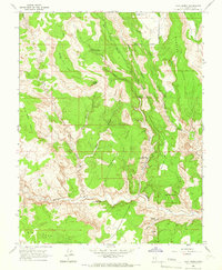
1964 · Calf Creek
USGS Topo · 1:24,000

1964 · Canaan Creek
USGS Topo · 1:24,000
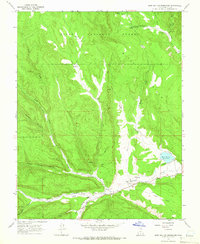
1964 · Wide Hollow Reservoir
USGS Topo · 1:24,000
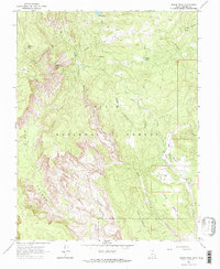
1964 · Roger Peak
USGS Topo · 1:24,000
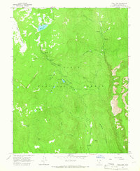
1964 · Posy Lake
USGS Topo · 1:24,000