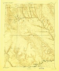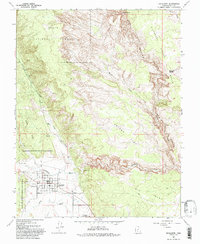
1964 Map of Escalante
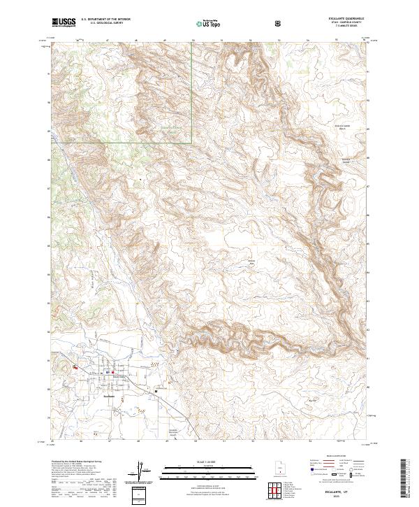
USGS Topo · Published 1993About this map
Escalante serves as the primary hub of activity in this 1960s survey, situated where Alvey Wash and Pine Creek converge toward the Escalante River. The town layout is clearly defined, showing the High Sch, a Substation, and a local Cem on its eastern edge. To the west, the Escalante Petrified Forest State Reserve transitions into the Black Hills, while the northern reaches of the map are dominated by the high elevations of the Dixie National Forest. This era shows a landscape managed for both preservation and utility, featuring a Gaging Station on the river and the Escalante Municipal Airport to the south. The dramatic topography is marked by deep incisions like Death Hollow and broad high-ground features such as Antone Flat and Big Flat, illustrating the complex drainage patterns of the high desert plateau.
Find a feature on this map
26 named features on this map. Tap any name to fly to it.
Don’t see what you’re looking for? This feature index may not catch every label — zoom into the map to look around manually.
Map Details
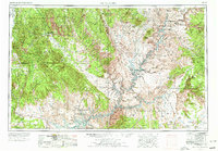
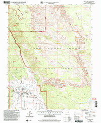
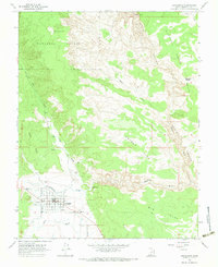
Editions of this 1964 Escalante Map
2 editions found
Historical Maps of Escalante Through Time
7 maps found