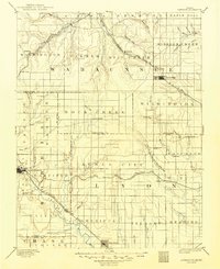
1894 Map of Eskridge
USGS Topo · Published 1949About this map
The Council Grove settlement and the surrounding Flint Hills landscape define this late 19th-century survey of east-central Kansas. The terrain is deeply etched by an extensive drainage network, including the Marais des Cygnes River and the uniquely named One Hundred and Forty Two Mile Creek. This era reveals a region dominated by competing rail lines, with the Chicago Rock Island and Pacific R. R. cutting through the northwest and the Missouri Kansas and Texas R. R. following the Neosho River valley through Dunlap. Small, concentrated rural communities like Agnes City, Admire City, and Eskridge appear as established hubs connected by these transit corridors. Notable landmarks like Chalk Mound provide vertical orientation in a landscape otherwise shaped by the meandering courses of Mill Creek and Rock Creek.
Find a feature on this map
87 named features on this map. Tap any name to fly to it.
Don’t see what you’re looking for? This feature index may not catch every label — zoom into the map to look around manually.
Map Details
Editions of this 1894 Eskridge Map
5 editions found

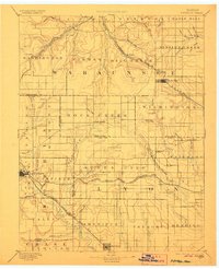
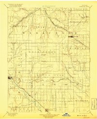
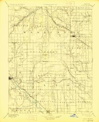
Other maps of this area

1885 · Eskridge
USGS Topo · 1:125,000

1885 · Burlington
USGS Topo · 1:125,000

1886 · Junction City
USGS Topo · 1:125,000

1888 · Emporia
USGS Topo · 1:125,000

1889 · Burlingame
USGS Topo · 1:125,000

1889 · Wamego
USGS Topo · 1:125,000

1889 · Junction City
USGS Topo · 1:125,000

1889 · Parkerville
USGS Topo · 1:125,000

1889 · Eskridge
USGS Topo · 1:125,000

1889 · Topeka
USGS Topo · 1:125,000