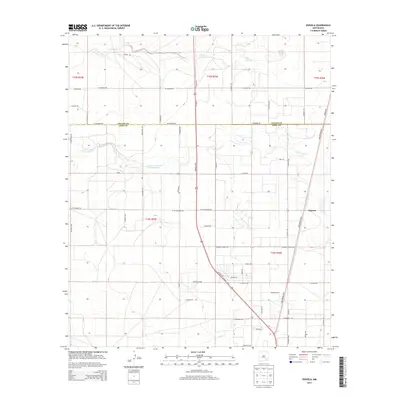
2013 Map of Espuela
USGS Topo · Published 2013About this map
Cottonwood Creek and Walnut Creek carve paths through the arid landscape north of Artesia, marking the drainage patterns of this high desert terrain in 2013. The map centers on the small settlement of Espuela, where the rural grid begins to densify along the Lake Arthur Highway. The transition between Chaves and Eddy Counties is clearly defined, cutting across a network of roads that reflect the area's ranching and agricultural foundation. Family and local names are preserved in the road network, from Lawrence Ranch Road to Chimeso Road, showing the persistent footprint of land ownership and local travel routes. The landscape is dominated by the Public Land Survey System grid, providing a clear view of township and range divisions such as t16s r25e that have governed the development of this New Mexico territory for generations.
Find a feature on this map
56 named features on this map. Tap any name to fly to it.
Don’t see what you’re looking for? This feature index may not catch every label — zoom into the map to look around manually.
Map Details
Editions of this 2013 Espuela Map
This is the sole edition of this map. No revisions or reprints were ever made.
Other maps of this area

1951 · Hagerman
USGS Topo · 1:24,000

1952 · Hagerman SW
USGS Topo · 1:24,000

1953 · Espuela
USGS Topo · 1:24,000

1954 · Carlsbad
USGS Topo · 1:250,000

1955 · Artesia
USGS Topo · 1:24,000

1955 · Artesia NE
USGS Topo · 1:24,000

1955 · Spring Lake
USGS Topo · 1:24,000

1955 · Hackberry Ranch
USGS Topo · 1:24,000

1955 · Hope NE
USGS Topo · 1:24,000

1955 · Roswell
USGS Topo · 1:250,000