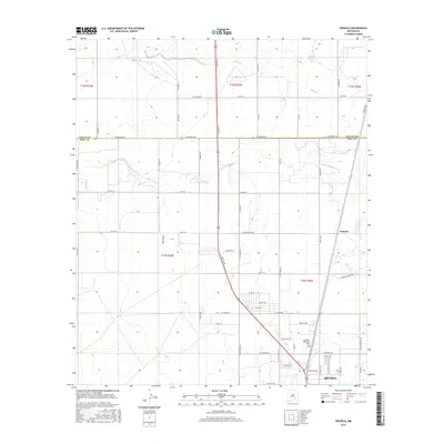
2017 Map of Espuela
USGS Topo · Published 2017About this map
Artesia sits at the southern edge of this landscape, where the street grid of the city begins to transition into the organized section lines of the Pecos River valley. The northern outskirts of the city are marked by residential and industrial development along routes like E Compress Rd and Swayback Rd, with the green space of Twin Oaks Memorial Park serving as a local landmark. Further north, the settlement of Espuela appears along the highway and rail corridor, centered near the intersection with E Cottonwood Rd.
Find a feature on this map
35 named features on this map. Tap any name to fly to it.
Don’t see what you’re looking for? This feature index may not catch every label — zoom into the map to look around manually.
Map Details
Editions of this 2017 Espuela Map
This is the sole edition of this map. No revisions or reprints were ever made.
Other maps of this area

1951 · Hagerman
USGS Topo · 1:24,000

1952 · Hagerman SW
USGS Topo · 1:24,000

1953 · Espuela
USGS Topo · 1:24,000

1954 · Carlsbad
USGS Topo · 1:250,000

1955 · Artesia
USGS Topo · 1:24,000

1955 · Artesia NE
USGS Topo · 1:24,000

1955 · Spring Lake
USGS Topo · 1:24,000

1955 · Hackberry Ranch
USGS Topo · 1:24,000

1955 · Hope NE
USGS Topo · 1:24,000

1955 · Roswell
USGS Topo · 1:250,000