
1916 Map of Estacada
USGS Topo · Published 1916About this map
Estacada and the Clackamas River corridor serve as the industrial focal point of this 1916 survey, showcasing early twentieth-century hydropower and municipal infrastructure. The map meticulously records the River Mill Dam and the Upper Dam near Cazadero, alongside the critical Intake Portland Waterworks on the Bull Run River. This era marks a significant transition as the P. R. L. & P. Co. railroad line connects timber and power interests between the growing settlements of Boring, Barton, and Eagle Creek.
Find a feature on this map
103 named features on this map. Tap any name to fly to it.
Don’t see what you’re looking for? This feature index may not catch every label — zoom into the map to look around manually.
Map Details
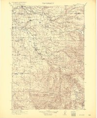
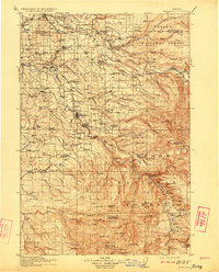
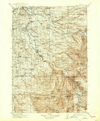
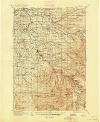
Editions of this 1916 Estacada Map
5 editions found
Other maps of this area

1897 · Portland
USGS Topo · 1:62,500

1905 · Portland
USGS Topo · 1:62,500

1911 · Boring
USGS Topo · 1:48,000

1914 · Boring
USGS Topo · 1:62,500

1914 · Oregon City
USGS Topo · 1:62,500

1918 · Troutdale
USGS Topo · 1:62,500

1924 · Mount Hood
USGS Topo · 1:125,000

1926 · Hood River
USGS Topo · 1:125,000

1927 · Mount Hood
USGS Topo · 1:125,000

1927 · Mt. Jefferson
USGS Topo · 1:125,000