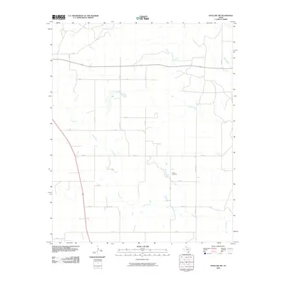
2010 Map of Estelline NW
USGS Topo · Published 2010About this map
Jonah Creek meanders across this rural section of Hall County, defining a landscape shaped by intermittent watercourses and ranching infrastructure. The drainage patterns of Dry Salt Creek and its various tributaries reveal the natural contours of the Panhandle terrain, where elevation changes are subtle but significant for local water management. A primary point of interest is the Helms Lake Dam, which provides a focal point for hydrology in an area dominated by expansive agricultural holdings and a grid of secondary roads. The network of local routes, including FM 1619 and Ranch Rd 1619, illustrates the connectivity required to manage these large-scale operations. This survey offers a clear view of the land use in the early 21st century, showing how modern ranching depends on the same creek beds that have guided activity in the region for generations.
Find a feature on this map
20 named features on this map. Tap any name to fly to it.
Don’t see what you’re looking for? This feature index may not catch every label — zoom into the map to look around manually.
Map Details
Editions of this 2010 Estelline NW Map
This is the sole edition of this map. No revisions or reprints were ever made.
Other maps of this area

1954 · Plainview
USGS Topo · 1:250,000

1958 · Plainview
USGS Topo · 1:250,000

1961 · Memphis
USGS Topo · 1:62,500

1961 · Estelline
USGS Topo · 1:62,500

1963 · Giles
USGS Topo · 1:24,000

1964 · Rolla SW
USGS Topo · 1:24,000

1964 · Rolla
USGS Topo · 1:24,000

1976 · Memphis SE
USGS Topo · 1:24,000

1976 · Memphis NE
USGS Topo · 1:24,000

1984 · Estelline NE
USGS Topo · 1:24,000