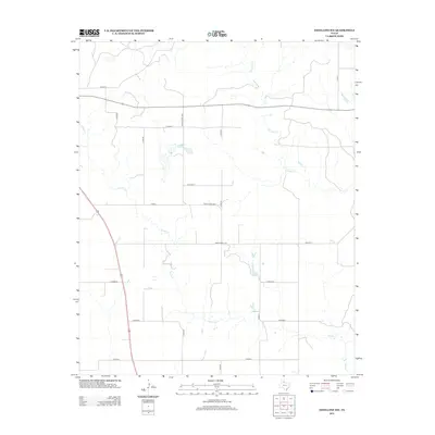
2012 Map of Estelline NW
USGS Topo · Published 2012About this map
Jonah Cr and Dry Salt Cr define the drainage patterns of this Hall County landscape, where the ephemeral stream beds cut through the characteristic terrain of the Texas Panhandle. The map reveals a highly structured rural grid, with a dense network of county roads such as Co Road B, Co Road G, and Co Road I providing access across the open plains. Larger thoroughfares like Ranch Road 3032 and Ranch Road 1619 facilitate movement through this cattle-ranching and agricultural region, illustrating how modern transportation infrastructure adheres to the original section lines. This 2012 survey captures a moment of modern land management in a sparsely populated area where water sources remains the primary geographic anchors.
Find a feature on this map
18 named features on this map. Tap any name to fly to it.
Don’t see what you’re looking for? This feature index may not catch every label — zoom into the map to look around manually.
Map Details
Editions of this 2012 Estelline NW Map
This is the sole edition of this map. No revisions or reprints were ever made.
Other maps of this area

1954 · Plainview
USGS Topo · 1:250,000

1958 · Plainview
USGS Topo · 1:250,000

1961 · Memphis
USGS Topo · 1:62,500

1961 · Estelline
USGS Topo · 1:62,500

1963 · Giles
USGS Topo · 1:24,000

1964 · Rolla SW
USGS Topo · 1:24,000

1964 · Rolla
USGS Topo · 1:24,000

1976 · Memphis SE
USGS Topo · 1:24,000

1976 · Memphis NE
USGS Topo · 1:24,000

1984 · Estelline NE
USGS Topo · 1:24,000