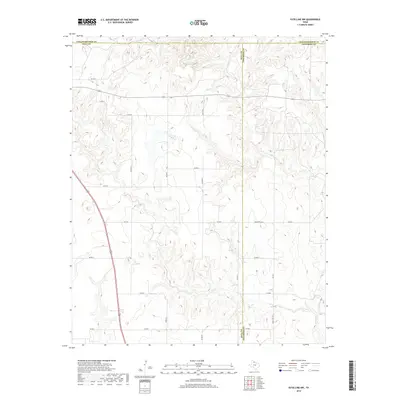
2019 Map of Estelline NW
USGS Topo · Published 2019About this map
The intersection of Hall, Childress, and Collingsworth counties defines this high plains landscape of the Texas Panhandle. The terrain is characterized by the erosive drainage patterns of Jonah Cr and Dry Salt Cr, which carve into the plateau and create a complex network of draws and ridges. This topography dictates the rural transportation network, with farm-to-market roads like FM 1619 and FM 3032 providing primary access through the region.
Find a feature on this map
22 named features on this map. Tap any name to fly to it.
Don’t see what you’re looking for? This feature index may not catch every label — zoom into the map to look around manually.
Map Details
Editions of this 2019 Estelline NW Map
This is the sole edition of this map. No revisions or reprints were ever made.
Other maps of this area

1954 · Plainview
USGS Topo · 1:250,000

1958 · Plainview
USGS Topo · 1:250,000

1961 · Memphis
USGS Topo · 1:62,500

1961 · Estelline
USGS Topo · 1:62,500

1963 · Giles
USGS Topo · 1:24,000

1964 · Rolla SW
USGS Topo · 1:24,000

1964 · Rolla
USGS Topo · 1:24,000

1976 · Memphis SE
USGS Topo · 1:24,000

1976 · Memphis NE
USGS Topo · 1:24,000

1984 · Estelline NE
USGS Topo · 1:24,000