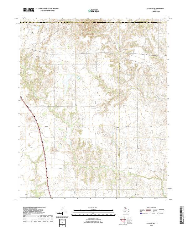
2022 Map of Estelline NW
USGS Topo · Published 2022About this map
The rolling plains of the Texas Panhandle are defined here by a series of intermittent watercourses and a rigid grid of county roads. Flowing southeast across the landscape, Jonah Cr and Dry Salt Cr carve intricate drainage patterns through the terrain. This area, where Hall Co, Childress Co, and Collingsworth Co meet, remains an expansive agricultural and ranching environment. The mapping reveals a sparse settlement pattern connected by significant state and local routes, including FM 1619 and Ranch Rd 1619. Long straightaways such as Co Rd B and Co Rd E segment the land, providing access to the deep interior of these counties. This 2022 survey documents the modern ranching infrastructure and the persistent natural drainage systems that have shaped land use in this part of the Panhandle for generations.
Find a feature on this map
22 named features on this map. Tap any name to fly to it.
Don’t see what you’re looking for? This feature index may not catch every label — zoom into the map to look around manually.
Map Details
Editions of this 2022 Estelline NW Map
This is the sole edition of this map. No revisions or reprints were ever made.
Other maps of this area

1954 · Plainview
USGS Topo · 1:250,000

1958 · Plainview
USGS Topo · 1:250,000

1961 · Memphis
USGS Topo · 1:62,500

1961 · Estelline
USGS Topo · 1:62,500

1963 · Giles
USGS Topo · 1:24,000

1964 · Rolla SW
USGS Topo · 1:24,000

1964 · Rolla
USGS Topo · 1:24,000

1976 · Memphis SE
USGS Topo · 1:24,000

1976 · Memphis NE
USGS Topo · 1:24,000

1984 · Estelline NE
USGS Topo · 1:24,000