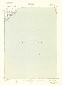
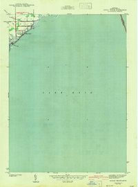
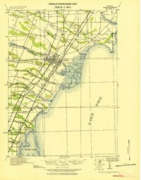
1942 Map of Estral Beach
USGS Topo · Published 1942About this map
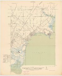
Estral Beach occupies the western edge of Lake Erie in this early 1940s survey, illustrating the interface between Monroe County’s coastal wetlands and the burgeoning residential developments of Berlin and Frenchtown. The map captures the shoreline before extensive post-war hardening, where the drainage of Lanoton Creek and Swan Creek meets the lake's open waters. Transportation is defined by a grid of local arteries including Port Sunlight Rd, Roberts Rd, and Masserant Rd, which provided essential access to the waterfront lots and summer cottages that characterized this era of Michigan’s coastal history. Notable for its clarity of the international boundary between the United States and Canada, the map provides a unique look at the maritime geography and rural road network of the Lake Erie shoreline during the early years of the Second World War.
Find a feature on this map
10 named features on this map. Tap any name to fly to it.
Don’t see what you’re looking for? This feature index may not catch every label — zoom into the map to look around manually.
Map Details
Editions of this 1942 Estral Beach Map
2 editions found
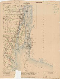
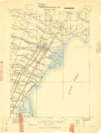
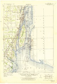
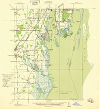
Other maps of this area

1906 · Wyandotte
USGS Topo · 1:62,500

1906 · Romulus
USGS Topo · 1:62,500
1912 · Wyandotte
USGS Topo · 1:62,500
1912 · Monroe
USGS Topo · 1:62,500
1914 · Monroe
USGS Topo · 1:62,500
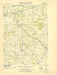
1928 · Romulus
USGS Topo · 1:62,500
1929 · Wyandotte
USGS Topo · 1:62,500
1936 · Rockwood
USGS Topo · 1:31,680
1936 · Stony Point
USGS Topo · 1:31,680
1936 · Flat Rock
USGS Topo · 1:31,680
Featured Places
- Frenchtown Charter Township, MI
- Berlin Charter Township, MI
- Estral Beach, Berlin Charter Township
- Lucas County, OH