Loading...
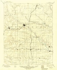
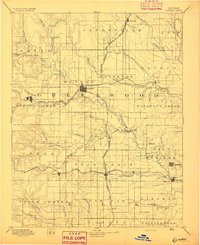
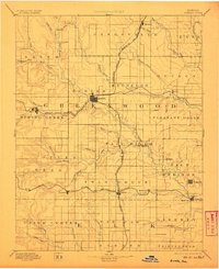
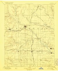
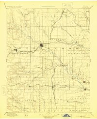
Loading map...1894 Map of Eureka
USGS Topo · Published 1949About this map
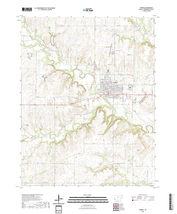
The Fall River and its numerous tributaries, including Honey Creek and Tadpole Creek, carve through the Greenwood County landscape, shaping the development of the region during the late 19th century. This survey, conducted by W.J. Peters and E.T. Perkins Jr., reveals a burgeoning transportation hub centered at Eureka, where the Missouri Pacific Railroad and the Atchison Topeka and Santa Fe Railroad converge.
Find a feature on this map
71 named features on this map. Tap any name to fly to it.
Don’t see what you’re looking for? This feature index may not catch every label — zoom into the map to look around manually.
Map Details
Date Portrayed1894
Date Published1949
PublisherU.S. Geological Survey
Map TypeTopographic
Scale1:125,000
Physical Dimensions16.28 x 20 inches
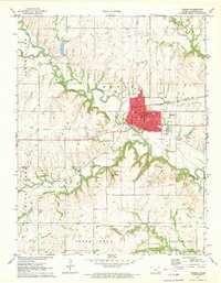
Editions of this 1894 Eureka Map
5 editions found
Historical Maps of Eureka Through Time
9 maps found


Featured Locations
Source Details
SourceU.S. Geological Survey
CopyrightPublic Domain