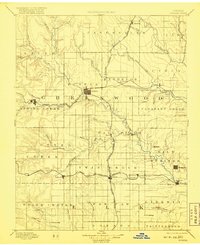
1894 Map of Eureka
USGS Topo · Published 1918About this map
The town of Eureka serves as the central hub of this late 19th-century landscape, positioned at a critical junction of the Missouri Pacific Railroad and the Atchison Topeka and Santa Fe Railroad. This topography, surveyed in the mid-1880s, reveals a developing county where rail lines dictate the growth of towns like Piedmont, Severy, and Reece. The convergence of transportation and water is evident as the St Louis and San Francisco Railroad follows the path of Salt Creek toward the town of Fall River. Beyond the railroad towns, smaller settlements such as Utopia, Derry, and Western Park are scattered across the township system. The drainage of the Verdigris River and Fall River defines the prairie terrain, with notable landmarks like Twin Falls and Cave Springs illustrating the natural geography that early Kansas settlers encountered before the turn of the century.
Find a feature on this map
68 named features on this map. Tap any name to fly to it.
Don’t see what you’re looking for? This feature index may not catch every label — zoom into the map to look around manually.
Map Details
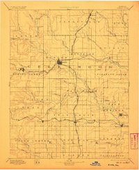
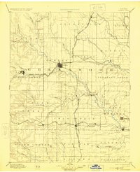
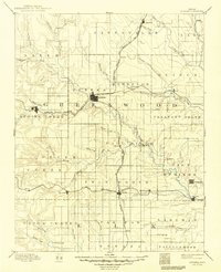
Editions of this 1894 Eureka Map
5 editions found

Other maps of this area

1885 · Burlington
USGS Topo · 1:125,000

1885 · Eureka
USGS Topo · 1:125,000

1885 · Sedan
USGS Topo · 1:125,000

1886 · Fredonia
USGS Topo · 1:125,000

1886 · Independence
USGS Topo · 1:125,000

1888 · Emporia
USGS Topo · 1:125,000

1888 · Eureka
USGS Topo · 1:125,000

1888 · Eldorado
USGS Topo · 1:125,000

1889 · Burden
USGS Topo · 1:125,000

1889 · Sedan
USGS Topo · 1:125,000