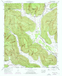
1947 Map of Eureka
USGS Topo · Published 1976About this map
Little Coon Mountain and the surrounding plateau dominate this area near the Tennessee Alabama state line. The landscape is defined by deep hollows and narrow valleys where small settlements and family farms once clustered, connected by the Louisville and Nashville railroad which follows the floor of Crow Creek Valley. At Anderson, Gonce, and Eureka, the map reveals a rural community supported by local institutions like Pleasant Grove school and a high concentration of family burying grounds, including Allison Cem and Mc Crary Cem. The presence of several springs and caves, such as Salt River Cave and Tongue Spring, reflects the limestone geography of the region. The map also records the John Sumach Reservation, suggesting early land management or preservation efforts in this upland terrain before later development cycles altered the valley floors.
Find a feature on this map
79 named features on this map. Tap any name to fly to it.
Don’t see what you’re looking for? This feature index may not catch every label — zoom into the map to look around manually.
Map Details
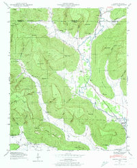
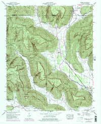
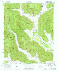
Editions of this 1947 Eureka Map
4 editions found
Other maps of this area

1886 · Stevenson
USGS Topo · 1:125,000

1888 · Scottsboro
USGS Topo · 1:125,000

1892 · Scottsboro
USGS Topo · 1:125,000

1892 · Stevenson
USGS Topo · 1:125,000

1895 · Stevenson
USGS Topo · 1:125,000

1895 · Sewanee
USGS Topo · 1:125,000

1928 · Decherd
USGS Topo · 1:62,500

1936 · Orme
USGS Topo · 1:24,000

1936 · Wannville
USGS Topo · 1:24,000

1936 · Sinking Cove
USGS Topo · 1:24,000