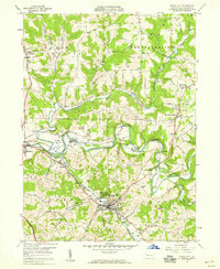
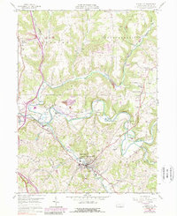
1958 Map of Evans City
USGS Topo · Published 1959About this map
Evans City sits at the confluence of several vital transit corridors in western Butler County during the late 1950s. The landscape is defined by the winding course of Connoquenessing Creek and the Baltimore and Ohio railroad, which links industrial pockets and small rural settlements like Harmony Junction and Eidenau. This era shows a community in transition, where traditional farmland and country schools like Stamm Sch exist alongside expanding resource extraction, evidenced by the numerous Strip Mines and oil wells dotting the hillsides. Genealogists will find significant value in the detailed plotting of local congregations and burial grounds, such as White Oak Springs Ch and the hilltop Mt Nebo Cem. The presence of an Abandoned Tunnel and defunct stops like Buhls Sta provides a look at the shifting transportation infrastructure that once powered the local economy.
Find a feature on this map
44 named features on this map. Tap any name to fly to it.
Don’t see what you’re looking for? This feature index may not catch every label — zoom into the map to look around manually.
Map Details
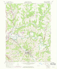
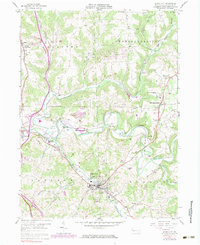
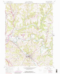
Editions of this 1958 Evans City Map
5 editions found
Other maps of this area

1906 · Sewickley
USGS Topo · 1:62,500

1908 · Sewickley
USGS Topo · 1:62,500

1908 · New Kensington
USGS Topo · 1:62,500

1908 · Zelienople
USGS Topo · 1:62,500

1909 · Butler
USGS Topo · 1:62,500

1910 · New Kensington
USGS Topo · 1:62,500

1910 · Zelienople
USGS Topo · 1:62,500

1911 · Butler
USGS Topo · 1:62,500

1950 · Valencia
USGS Topo · 1:24,000

1951 · Canton
USGS Topo · 1:250,000