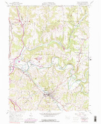
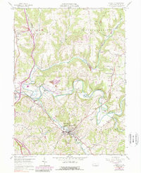
1958 Map of Evans City
USGS Topo · Published 1989About this map
Evans City serves as a focal point for this Butler County landscape, situated where the Baltimore and Ohio railroad meets the winding course of Breakneck Creek. The settlement pattern follows the intricate drainage of Connoquenessing Creek and its many tributaries, with small hamlets like Eidenau, Harmony, and Wahlville clustered near the rails and water. Local genealogy is well-documented through numerous rural institutions, including White Oak Springs Ch, St Johns Ch, and the prominent Evans City Cem south of the main borough.
Find a feature on this map
37 named features on this map. Tap any name to fly to it.
Don’t see what you’re looking for? This feature index may not catch every label — zoom into the map to look around manually.
Map Details
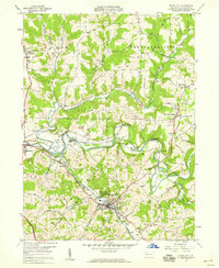
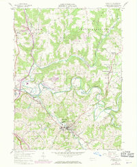
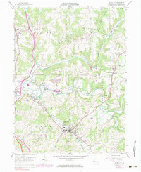
Editions of this 1958 Evans City Map
5 editions found
Other maps of this area

1906 · Sewickley
USGS Topo · 1:62,500

1908 · Sewickley
USGS Topo · 1:62,500

1908 · New Kensington
USGS Topo · 1:62,500

1908 · Zelienople
USGS Topo · 1:62,500

1909 · Butler
USGS Topo · 1:62,500

1910 · New Kensington
USGS Topo · 1:62,500

1910 · Zelienople
USGS Topo · 1:62,500

1911 · Butler
USGS Topo · 1:62,500

1950 · Valencia
USGS Topo · 1:24,000

1951 · Canton
USGS Topo · 1:250,000