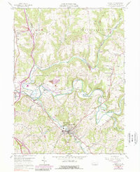
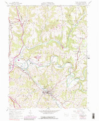
1958 Map of Evans City
USGS Topo · Published 1989About this map
Evans City serves as a central hub in this Butler County landscape, situated at the confluence of Breakneck Creek and Connoquenessing Creek. The area is defined by its rail-oriented history, with the Baltimore and Ohio railroad corridor facilitating commerce through Harmony Junction and past the Abandoned Tunnel near Watters. In the late 1950s and late 1960s, the region balanced small-town residential growth with active industrial uses, evidenced by numerous Strip Mine operations scattered across the hills and the presence of the Deep Valley Golf Course.
Find a feature on this map
41 named features on this map. Tap any name to fly to it.
Don’t see what you’re looking for? This feature index may not catch every label — zoom into the map to look around manually.
Map Details
Editions of this 1958 Evans City Map
5 editions found
Other maps of this area

1906 · Sewickley
USGS Topo · 1:62,500

1908 · Sewickley
USGS Topo · 1:62,500

1908 · New Kensington
USGS Topo · 1:62,500

1908 · Zelienople
USGS Topo · 1:62,500

1909 · Butler
USGS Topo · 1:62,500

1910 · New Kensington
USGS Topo · 1:62,500

1910 · Zelienople
USGS Topo · 1:62,500

1911 · Butler
USGS Topo · 1:62,500

1950 · Valencia
USGS Topo · 1:24,000

1951 · Canton
USGS Topo · 1:250,000