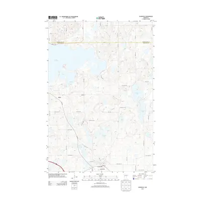
2013 Map of Evansville
USGS Topo · Published 2013About this map
Evansville and Melby anchor this glacial landscape in western Douglas County, where the topography is defined by a dense network of kettle lakes and wetlands. The settlement at Evansville is concentrated near the south-central portion of the sheet, featuring the Mound Grove Memorial Park and a local post office. Further northwest, the hamlet of Melby sits near the shores of Lake Christina, one of the largest water bodies in the region. The map reveals a land divided by the Otter Tail and Douglas County line, characterized by a grid of rural roads like Co Hwy-82 and MN-78. Local history is preserved at the Christina Lake Cem, located near Lake Ina. The intricate shoreline of Stockhousen Lake and the circular depression of Horseshoe Lake illustrate the complex hydrography typical of this prairie-pothole transition zone.
Find a feature on this map
54 named features on this map. Tap any name to fly to it.
Don’t see what you’re looking for? This feature index may not catch every label — zoom into the map to look around manually.
Map Details
Editions of this 2013 Evansville Map
This is the sole edition of this map. No revisions or reprints were ever made.
Other maps of this area

1911 · Barrett
USGS Topo · 1:62,500

1913 · Ashby
USGS Topo · 1:62,500

1953 · Brainerd
USGS Topo · 1:250,000

1953 · Saint Cloud
USGS Topo · 1:250,000

1957 · Brainerd
USGS Topo · 1:250,000

1957 · Saint Cloud
USGS Topo · 1:250,000

1958 · Saint Cloud
USGS Topo · 1:250,000

1958 · Brainerd
USGS Topo · 1:250,000

1965 · Brainerd
USGS Topo · 1:250,000

1966 · Brandon
USGS Topo · 1:24,000