
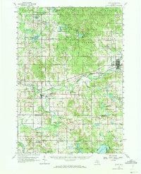
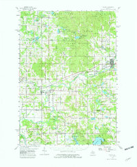
1959 Map of Evart
USGS Topo · Published 1960About this map
Evart and Reed City anchor this mid-century portrait of West Michigan, a landscape defined by its glacial lakes and industrial infrastructure. The Muskegon River and Hersey River dominate the drainage pattern, while the tracks of the Chesapeake and Ohio and the Pennsylvania railroads reveal the era's transport corridor. Local activity is concentrated at places like Stambaugh Corner and Grant Center, with the Osceola Oil Field and scattered Gravel Pits indicating the region's extraction economy.
Find a feature on this map
110 named features on this map. Tap any name to fly to it.
Don’t see what you’re looking for? This feature index may not catch every label — zoom into the map to look around manually.
Map Details
Editions of this 1959 Evart Map
3 editions found
Other maps of this area

1931 · Chase NE
USGS Topo · 1:31,680

1933 · Luther SE
USGS Topo · 1:31,680

1954 · Traverse City
USGS Topo · 1:250,000

1954 · Midland
USGS Topo · 1:250,000

1957 · Cadillac South
USGS Topo · 1:62,500

1957 · Luther
USGS Topo · 1:62,500

1957 · Marion
USGS Topo · 1:62,500

1958 · Traverse City
USGS Topo · 1:250,000

1958 · Midland
USGS Topo · 1:250,000

1958 · Woodville
USGS Topo · 1:62,500