Loading...
Loading map...1946 Map of Ewing
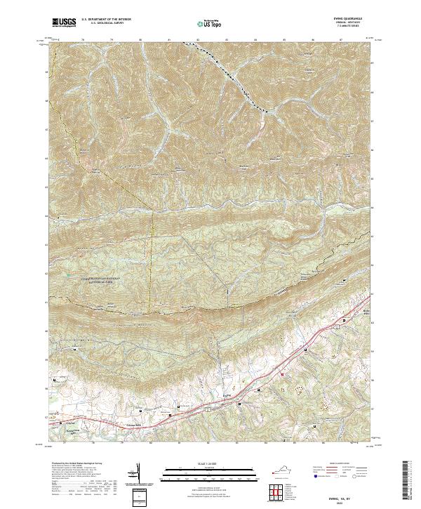
USGS Topo · Published 1962About this map
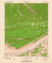
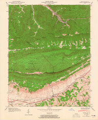
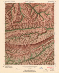
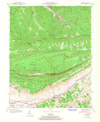
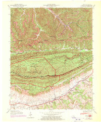
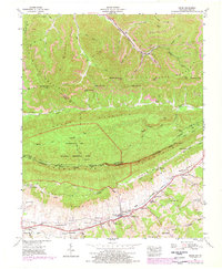
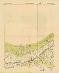
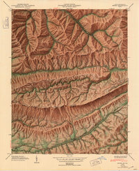
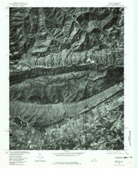
Cumberland Gap National Historical Park anchors this mid-century survey, where the rugged borders of Kentucky, Virginia, and Tennessee meet. The terrain is dominated by the steep ridges of Little Black Mountain and Cumberland Mountain, with the Louisville and Nashville railroad carving a path through the valley floors to serve settlements like Alva and Ewing.
Find a feature on this map
81 named features on this map. Tap any name to fly to it.
Don’t see what you’re looking for? This feature index may not catch every label — zoom into the map to look around manually.
Map Details
Date Portrayed1946
Date Published1962
PublisherU.S. Geological Survey
Map TypeTopographic
Scale1:24,000
Physical Dimensions22 x 27 inches
Editions of this 1946 Ewing Map
6 editions found
Historical Maps of Ewing Through Time
5 maps found
Featured Locations
Source Details
SourceU.S. Geological Survey
CopyrightPublic Domain