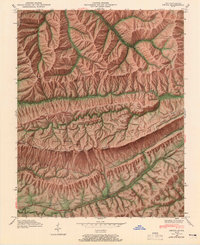
1946 Map of Ewing
USGS Topo · Published 1965About this map
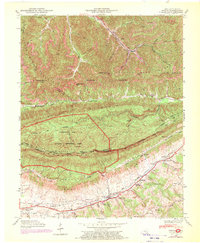
Black Mountain and Little Black Mountain dominate this corner of the Appalachians, where the state lines of Kentucky, Virginia, and Tennessee converge. The terrain is marked by a succession of high ridges and narrow gaps, including the famous Cumberland Gap and the northern reaches of the Cumberland Gap National Historical Park. Along the southern base of these peaks, the settlement of Ewing serves as a local hub near the Louisville and Nashville line.
Find a feature on this map
84 named features on this map. Tap any name to fly to it.
Don’t see what you’re looking for? This feature index may not catch every label — zoom into the map to look around manually.
Map Details
Editions of this 1946 Ewing Map
6 editions found
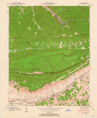
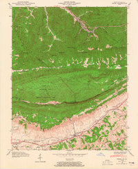
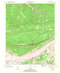
Other maps of this area

1886 · Cumberland Gap
USGS Topo · 1:125,000

1887 · Jonesville
USGS Topo · 1:125,000

1888 · Cumberland Gap
USGS Topo · 1:125,000

1891 · Cumberland Gap
USGS Topo · 1:125,000

1891 · Jonesville
USGS Topo · 1:125,000

1903 · Harlan
USGS Topo · 1:48,000

1903 · Pineville
USGS Topo · 1:48,000

1903 · Middlesboro
USGS Topo · 1:48,000

1916 · Harlan
USGS Topo · 1:48,000

1919 · Harlan
USGS Topo · 1:62,500