Loading...
Loading map...1946 Map of Ewing
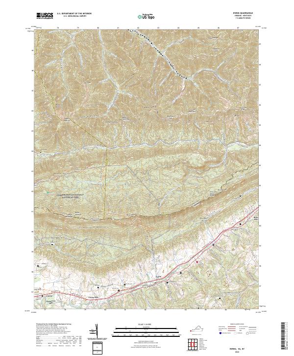
USGS Topo · Published 1978About this map
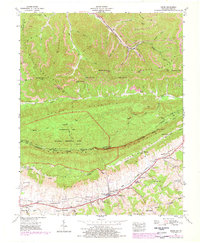
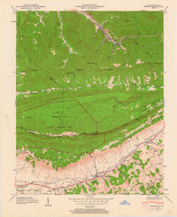
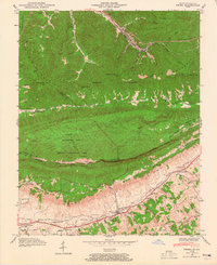
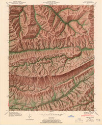
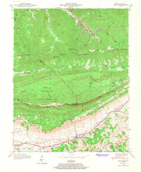
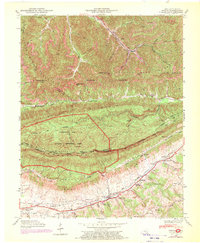
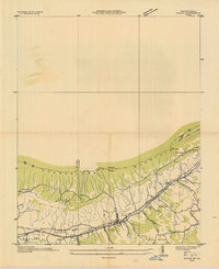
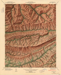
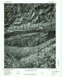
The rugged boundary between Kentucky and Virginia is defined here by the massive ridge of Cumberland Mountain, a landscape deeply tied to the migration history of the Boone Daniel Trail. Within the Cumberland Gap National Historical Park, landmarks like Sand Cave and the White Rocks lookout tower dominate the high ground above Poor Valley. To the north, the industrial character of the region is evident in the strip mines dotting Little Black Mountain near the mining community of Alva.
Find a feature on this map
100 named features on this map. Tap any name to fly to it.
Don’t see what you’re looking for? This feature index may not catch every label — zoom into the map to look around manually.
Map Details
Date Portrayed1946
Date Published1978
PublisherU.S. Geological Survey
Map TypeTopographic
Scale1:24,000
Physical Dimensions22.5 x 27.4 inches
Editions of this 1946 Ewing Map
6 editions found
Historical Maps of Ewing Through Time
5 maps found
Featured Locations
Source Details
SourceU.S. Geological Survey
CopyrightPublic Domain