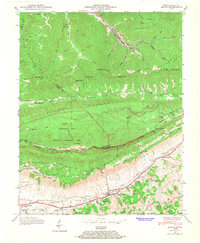
1946 Map of Ewing
USGS Topo · Published 1968About this map
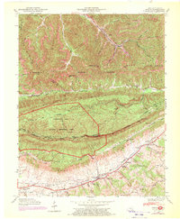
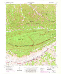
The rugged divide of the Kentucky Virginia border dominates this 1946 survey, where the massive ridgelines of Little Black Mountain and Brush Mountain converge toward the Cumberland Gap National Historical Park. The landscape is a study in extraction and transit, evidenced by numerous inclines descending from the heights toward the Louisville and Nashville railroad tracks in the coal-mining community of Alva. To the south, Poor Valley and Poor Valley Ridge provide a more settled agricultural contrast, anchored by the town of Ewing. This valley floor is rich with genealogical data, featuring numerous family burial grounds such as Ball Cem, Kingaid Cem, and Richmond Cem, alongside country congregations like Mt Carmel Ch and Ingles Chapel. The historic transit corridor is further marked by the Daniel Boone Trail, which skirts the base of the White Rocks escarpment.
Find a feature on this map
67 named features on this map. Tap any name to fly to it.
Don’t see what you’re looking for? This feature index may not catch every label — zoom into the map to look around manually.
Map Details
Editions of this 1946 Ewing Map
6 editions found
Other maps of this area

1886 · Cumberland Gap
USGS Topo · 1:125,000

1887 · Jonesville
USGS Topo · 1:125,000

1888 · Cumberland Gap
USGS Topo · 1:125,000

1891 · Cumberland Gap
USGS Topo · 1:125,000

1891 · Jonesville
USGS Topo · 1:125,000

1903 · Harlan
USGS Topo · 1:48,000

1903 · Pineville
USGS Topo · 1:48,000

1903 · Middlesboro
USGS Topo · 1:48,000

1916 · Harlan
USGS Topo · 1:48,000

1919 · Harlan
USGS Topo · 1:62,500