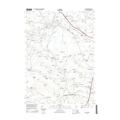
2015 Map of Exeter
USGS Topo · Published 2015About this map
Exeter serves as the focal point of this coastal New Hampshire landscape, where the Squamscott River and Little River converge amidst a dense network of early settlements and family-named corners. The map documents a historical transition from industrial river power to modern infrastructure, evidenced by the location of Coffins Mill and Weares Mill alongside contemporary landmarks like Cole Farm Airport and Propwash Airport. Numerous burial grounds, including the Winter Street Cem and the Ye Old Neighborhood Cem, are scattered across the terrain from Stratham Heights down to South Hampton, providing critical anchors for genealogical research. The survey captures the intricate local road system that connects historic nodes such as Lamprey Corners, Tappan Corners, and Sanborn Corners, illustrating how the colonial village structure has endured into the twenty-first century as part of the broader Rockingham Co and Essex Co borderlands.
Find a feature on this map
137 named features on this map. Tap any name to fly to it.
Don’t see what you’re looking for? This feature index may not catch every label — zoom into the map to look around manually.
Map Details
Editions of this 2015 Exeter Map
This is the sole edition of this map. No revisions or reprints were ever made.
Other maps of this area

1888 · Newburyport
USGS Topo · 1:62,500

1888 · Haverhill
USGS Topo · 1:62,500

1890 · Haverhill
USGS Topo · 1:62,500

1890 · Newburyport
USGS Topo · 1:62,500

1893 · Dover
USGS Topo · 1:62,500

1893 · Haverhill
USGS Topo · 1:62,500

1894 · Newburyport
USGS Topo · 1:62,500

1916 · Dover
USGS Topo · 1:62,500

1917 · Mt. Pawtuckaway
USGS Topo · 1:62,500

1918 · Dover
USGS Topo · 1:62,500