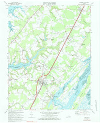
1968 Map of Exmore
USGS Topo · Published 1984About this map
The agricultural and maritime landscape of Virginia's Eastern Shore is captured here at a time when the Penn Central railroad served as the spine of local commerce. Centered on the boundary between Accomack and Northampton counties, the map reveals a network of small settlements and crossroad hamlets like Painter, Belle Haven, and Exmore. The prominence of the Virginia Truck Experimental Station underscores the region's historical reliance on specialized truck farming. Along the coast, the transition from upland fields to the salt marshes of Fairview Neck and Bell Neck is marked by tidal inlets such as Occohannock Creek and Nandua Creek. These waters, leading to the Machipongo River and Upshur Bay, supported the seafood economy centered at Willis Wharf, where docks and wharves met the inland rail lines.
Find a feature on this map
65 named features on this map. Tap any name to fly to it.
Don’t see what you’re looking for? This feature index may not catch every label — zoom into the map to look around manually.
Map Details
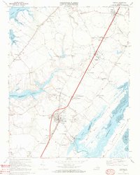
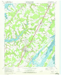
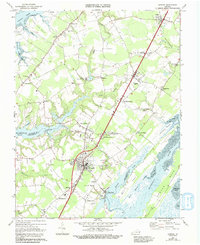
Editions of this 1968 Exmore Map
4 editions found
Other maps of this area

1931 · Accomac
USGS Topo · 1:48,000

1935 · Accomac
USGS Topo · 1:62,500

1941 · Broadwater
USGS Topo · 1:62,500

1942 · Nandua Creek
USGS Topo · 1:24,000

1942 · Little Machipongo Inlet
USGS Topo · 1:24,000

1942 · Nassawadox
USGS Topo · 1:24,000

1943 · Nassawadox
USGS Topo · 1:31,680

1943 · Jamesville
USGS Topo · 1:31,680

1943 · Pungoteague
USGS Topo · 1:31,680

1943 · Franktown
USGS Topo · 1:31,680