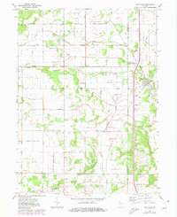
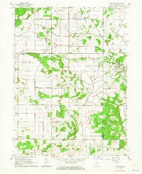
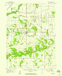
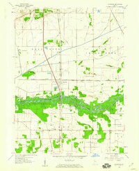
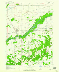
1962 Map of Fair Oaks
USGS Topo · Published 1980About this map
Fair Oaks serves as the primary hub of this Northwest Indiana landscape, situated at the intersection of local township roads and the Louisville and Nashville Railroad. The region is defined by an extensive and systematic drainage network, where named channels like Knight Ditch, Wentworth Ditch, and Elijah Ditch signify the conversion of wetlands into productive agricultural territory. These water management features crisscross the boundaries of Lincoln, Colfax, and Union townships, reflecting the intensive land modification required to sustain the local economy.
Find a feature on this map
29 named features on this map. Tap any name to fly to it.
Don’t see what you’re looking for? This feature index may not catch every label — zoom into the map to look around manually.
Map Details
Editions of this 1962 Fair Oaks Map
2 editions found
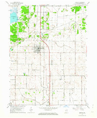
Other maps of this area

1953 · Chicago
USGS Topo · 1:250,000

1953 · Danville
USGS Topo · 1:250,000

1955 · Danville
USGS Topo · 1:250,000

1956 · Danville
USGS Topo · 1:250,000

1957 · Chicago
USGS Topo · 1:250,000
1957 · DeMotte
USGS Topo · 1:24,000
1959 · Schneider
USGS Topo · 1:24,000
1959 · Shelby
USGS Topo · 1:24,000
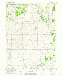
1961 · Mount Ayr
USGS Topo · 1:24,000
1961 · Morocco
USGS Topo · 1:24,000