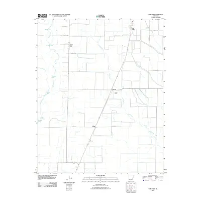
2011 Map of Fair Oaks
USGS Topo · Published 2011About this map
Bayou De View snakes through the western portion of this Woodruff County landscape, anchoring a series of oxbow features and wetlands including Sullivan Lake, Chambers Lake, and Cheatam Lake. The terrain is defined by its agricultural layout, punctuated by small rural settlements like Fair Oaks and Penrose that serve as local hubs for the surrounding farmsteads. Transportation and aviation infrastructure are central to the area's modern character, evidenced by the presence of McCrory-Morton Airport and Penrose Airport. These small airfields, alongside the geometric grid of county roads such as Penrose Rd and Beeline Rd, reflect the logistical needs of the Delta's agricultural industry. The eastern side of the map is drained by the winding course of Second Creek, which creates a distinct contrast with the strictly surveyed boundaries of the nearby fields.
Find a feature on this map
34 named features on this map. Tap any name to fly to it.
Don’t see what you’re looking for? This feature index may not catch every label — zoom into the map to look around manually.
Map Details
Editions of this 2011 Fair Oaks Map
This is the sole edition of this map. No revisions or reprints were ever made.
Other maps of this area

1939 · Vanndale
USGS Topo · 1:62,500

1939 · Wynne
USGS Topo · 1:62,500

1939 · Hunter
USGS Topo · 1:62,500

1940 · Tilton
USGS Topo · 1:62,500

1953 · Memphis
USGS Topo · 1:250,000

1956 · Memphis
USGS Topo · 1:250,000

1956 · Tilton
USGS Topo · 1:62,500

1956 · Hunter
USGS Topo · 1:62,500

1958 · Hunter
USGS Topo · 1:62,500

1958 · Wynne
USGS Topo · 1:62,500