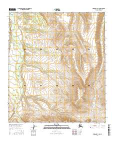
2016 Map of Fairbanks A-3 SE
USGS Topo · Published 2016About this map
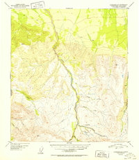
The Interior Alaskan wilderness south of Fairbanks is defined by a dense network of watercourses in this 2016 survey. Tatlanika Cr and Gold King Cr serve as the primary drainages for this section of the Denali Borough, carving through high-elevation terrain that reaches over 3,800 feet in the southern reaches. The landscape is characterized by its creek-carved topography, with Hearst Cr and Saint George Cr feeding into larger systems that historically supported seasonal travel and prospecting. The map highlights the vast, unpopulated character of the region, where named landmarks are almost exclusively hydrological. Smaller tributaries like Roosevelt Cr, Grubstake Cr, and Moose Cr illustrate the complex watershed that flows from the foothills toward the Tanana Valley. This sheet provides a detailed view of the remote drainage patterns essential for navigating or studying the geomorphology of the northern foothills.
Find a feature on this map
15 named features on this map. Tap any name to fly to it.
Don’t see what you’re looking for? This feature index may not catch every label — zoom into the map to look around manually.
Map Details
Editions of this 2016 Fairbanks A-3 SE Map
This is the sole edition of this map. No revisions or reprints were ever made.
Other maps of this area

1949 · Fairbanks A-2
USGS Topo · 1:63,360

1950 · Fairbanks
USGS Topo · 1:250,000

1950 · Fairbanks A-3
USGS Topo · 1:63,360

1950 · Healy D-3
USGS Topo · 1:63,360

1951 · Healy
USGS Topo · 1:250,000

1951 · Fairbanks
USGS Topo · 1:250,000
1951 · Healy D-2
USGS Topo · 1:63,360
1952 · Healy D-3
USGS Topo · 1:63,360
1952 · Healy D-2
USGS Topo · 1:63,360
1952 · Fairbanks A-3
USGS Topo · 1:63,360