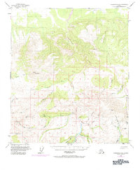
1950 Map of Fairbanks A-4
USGS Topo · Published 1984About this map
The Tatlanika River basin dominates this interior landscape, which was mapped in 1949 and later updated with 1972 aerial revisions. This area is defined by its gold mining history and rugged drainage networks, featuring the Liberty Bell Mine and Eva Mine situated near Wilson Creek. These remote operations are connected by the primitive Winter Trail and several landing strips, including a Landing Strip (Aban'd) near Fourth of July Creek. Elevations reach over 4,000 feet at Rex Dome and VABM Coal 4165, overlooking a complex system of tributaries like California Creek and Bonanza Creek. The presence of a Placer Mine further downstream illustrates the legacy of mineral extraction in this part of the Alaska Range foothills.
Find a feature on this map
36 named features on this map. Tap any name to fly to it.
Don’t see what you’re looking for? This feature index may not catch every label — zoom into the map to look around manually.
Map Details
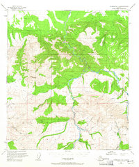
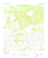
Editions of this 1950 Fairbanks A-4 Map
4 editions found
Other maps of this area

1949 · Fairbanks B-5
USGS Topo · 1:63,360

1949 · Fairbanks B-4
USGS Topo · 1:63,360

1949 · Fairbanks B-3
USGS Topo · 1:63,360

1950 · Fairbanks
USGS Topo · 1:250,000

1950 · Fairbanks A-5
USGS Topo · 1:63,360

1950 · Healy D-4
USGS Topo · 1:63,360

1950 · Fairbanks A-4
USGS Topo · 1:63,360

1950 · Fairbanks A-3
USGS Topo · 1:63,360

1950 · Healy D-3
USGS Topo · 1:63,360

1950 · Fairbanks B-5
USGS Topo · 1:63,360