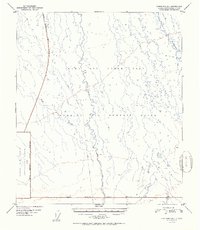
1952 Map of Fairbanks B-4
USGS Topo · Published 1952About this map
The Ladd Air Force Base Bombing and Gunnery Range dominates this interior Alaskan landscape south of Fairbanks. Surveyed in the early 1950s, the map reveals a wilderness largely defined by military activity and cold-weather infrastructure. The Tatlanika River and Tatlanika Creek wind through the eastern half of the quadrangle, creating a complex drainage pattern that contrasts with the geometric lines of the Military Reservation Boundary.
Find a feature on this map
8 named features on this map. Tap any name to fly to it.
Don’t see what you’re looking for? This feature index may not catch every label — zoom into the map to look around manually.
Map Details
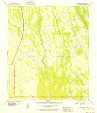
Editions of this 1952 Fairbanks B-4 Map
2 editions found
Other maps of this area

1949 · Fairbanks B-5
USGS Topo · 1:63,360

1949 · Fairbanks B-4
USGS Topo · 1:63,360

1949 · Fairbanks B-3
USGS Topo · 1:63,360

1950 · Fairbanks
USGS Topo · 1:250,000

1950 · Fairbanks C-3
USGS Topo · 1:63,360

1950 · Fairbanks C-5
USGS Topo · 1:63,360

1950 · Fairbanks A-5
USGS Topo · 1:63,360

1950 · Fairbanks C-4
USGS Topo · 1:63,360

1950 · Fairbanks A-4
USGS Topo · 1:63,360

1950 · Fairbanks A-3
USGS Topo · 1:63,360