
1950 Map of Fairbanks C-4
USGS Topo · Published 1962About this map
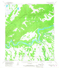
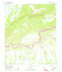
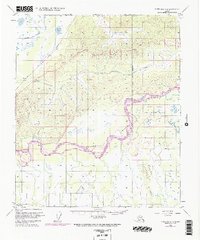
The Alaska Railroad cuts through the northwestern corridor of this landscape, following the lower elevations near Little Goldstream Creek and Twomile Lake. The central and southern portions of the terrain are dominated by the braided channels of the Tanana River, which creates a complex network of islands and shifting waterways. South of the main river channel, the landscape transitions into a low-lying area where the Wood River and Tatlanika Creek converge, illustrating the hydrological patterns of the interior before modern development. Evidence of early infrastructure and human presence is sparse but significant, marked by the Nenana Road, a Winter Trail, and an isolated Cabin along the riverbank. A large section of the eastern riverside is designated as a Bombing and Gunnery Range, reflecting the mid-century military footprint in the territory.
Find a feature on this map
10 named features on this map. Tap any name to fly to it.
Don’t see what you’re looking for? This feature index may not catch every label — zoom into the map to look around manually.
Map Details
Editions of this 1950 Fairbanks C-4 Map
4 editions found
Other maps of this area

1949 · Fairbanks B-5
USGS Topo · 1:63,360

1949 · Fairbanks D-3
USGS Topo · 1:63,360

1949 · Fairbanks D-4
USGS Topo · 1:63,360

1949 · Fairbanks B-4
USGS Topo · 1:63,360

1949 · Fairbanks B-3
USGS Topo · 1:63,360

1950 · Fairbanks
USGS Topo · 1:250,000

1950 · Fairbanks C-3
USGS Topo · 1:63,360

1950 · Fairbanks C-5
USGS Topo · 1:63,360

1950 · Fairbanks D-5
USGS Topo · 1:63,360

1950 · Fairbanks D-3
USGS Topo · 1:63,360