
1950 Map of Fairbanks D-3
USGS Topo · Published 1965About this map
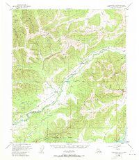
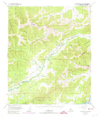
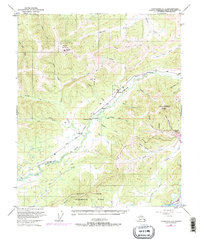
Alaska Railroad tracks wind through the Goldstream Valley on this mid-century survey of the interior landscape northwest of Fairbanks. The geography is defined by prominent high points and the early development of research and infrastructure, notably at Murphy Dome and the Ester Dome Observatory. Small settlements like Saulich and Old Saulich sit along the rail line, while Ester and its post office mark the southeastern hills near a local Ski Lodge. The southern portion of the map is dominated by the Bonanza Creek Experimental Forest and the broad Tanana River floodplain. Notable for local history, the map details a network of primitive transportation including a Tractor Trail and Sled Trail, reflecting the era's reliance on seasonal routes for movemement across the diverse terrain of the Goldstream Creek basin.
Find a feature on this map
42 named features on this map. Tap any name to fly to it.
Don’t see what you’re looking for? This feature index may not catch every label — zoom into the map to look around manually.
Map Details
Editions of this 1950 Fairbanks D-3 Map
4 editions found
Other maps of this area

1945 · Livengood
USGS Topo · 1:250,000

1949 · Fairbanks D-2
USGS Topo · 1:62,500

1949 · Fairbanks D-3
USGS Topo · 1:63,360

1949 · Fairbanks D-4
USGS Topo · 1:63,360

1949 · Fairbanks C-2
USGS Topo · 1:63,360

1950 · Fairbanks
USGS Topo · 1:250,000

1950 · Fairbanks C-3
USGS Topo · 1:63,360

1950 · Fairbanks C-4
USGS Topo · 1:63,360

1951 · Fairbanks
USGS Topo · 1:250,000

1951 · Livengood
USGS Topo · 1:250,000