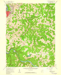
1958 Map of Fairmont East
USGS Topo · Published 1959About this map
The Tygart River and the Monongahela River dominate this landscape south of Fairmont, where industrial activity meets rural Appalachian ridges. The presence of Brick Kilns near Hammond and scattered Mines throughout the Winfield and Union districts highlights the region's extraction-based economy during the late 1950s. The Baltimore and Ohio railroad corridor follows the winding river valley, connecting settlements like Valley Falls to the urban core of Fairmont.
Find a feature on this map
87 named features on this map. Tap any name to fly to it.
Don’t see what you’re looking for? This feature index may not catch every label — zoom into the map to look around manually.
Map Details
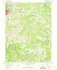
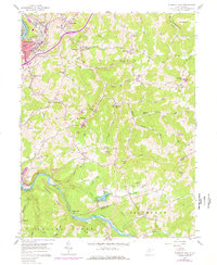
Editions of this 1958 Fairmont East Map
3 editions found
Other maps of this area

1886 · St. George
USGS Topo · 1:125,000

1891 · St. George
USGS Topo · 1:125,000

1902 · Fairmont
USGS Topo · 1:62,500

1902 · Morgantown
USGS Topo · 1:62,500

1904 · Blacksville
USGS Topo · 1:62,500

1907 · Thornton
USGS Topo · 1:62,500

1923 · Blacksville
USGS Topo · 1:62,500

1923 · Fairmont
USGS Topo · 1:62,500

1925 · Blacksville
USGS Topo · 1:62,500

1925 · Morgantown
USGS Topo · 1:62,500