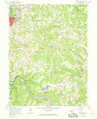
1958 Map of Fairmont East
USGS Topo · Published 1969About this map
The Monongahela River and the Tygart Valley River anchor this late 1950s survey, illustrating the industrial and residential development of Fairmont and its surrounding communities. To the east, the landscape is defined by a series of prominent ridges such as Winfield Ridge and Bunners Ridge, where small rural settlements like Winfield and Meadowdale are situated. The presence of numerous country schools and churches, including the Quiet Dell School and Mt Zion Ch, speaks to the established social fabric of Marion County during this era.
Find a feature on this map
79 named features on this map. Tap any name to fly to it.
Don’t see what you’re looking for? This feature index may not catch every label — zoom into the map to look around manually.
Map Details
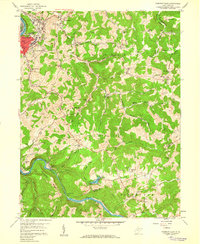
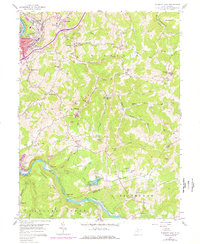
Editions of this 1958 Fairmont East Map
3 editions found
Other maps of this area

1886 · St. George
USGS Topo · 1:125,000

1891 · St. George
USGS Topo · 1:125,000

1902 · Fairmont
USGS Topo · 1:62,500

1902 · Morgantown
USGS Topo · 1:62,500

1904 · Blacksville
USGS Topo · 1:62,500

1907 · Thornton
USGS Topo · 1:62,500

1923 · Blacksville
USGS Topo · 1:62,500

1923 · Fairmont
USGS Topo · 1:62,500

1925 · Blacksville
USGS Topo · 1:62,500

1925 · Morgantown
USGS Topo · 1:62,500