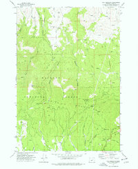
1972 Map of Fall Mountain
USGS Topo · Published 1977About this map
Malheur National Forest dominates this topographic study of the Aldrich Mountains, where the landscape transitions from the high elevations of Fall Mountain down to the northern reaches of Bear Valley. The map reveals a working forest and recreational landscape in the early 1970s, featuring the Starr Campground and a Ski Area situated along Starr Ridge. Named drainage systems like Laycock Creek and Windfall Creek provide a sense of the watershed's complex geography, while specific landmarks such as Nans Rock and Coal Pit Mtn serve as distinct navigational points. Settlement is sparse, represented by the small community of Pleasant Hill and individual sites like Dean Spring. Evidence of local industry and infrastructure is present through several Gravel Pit locations and a Radio Facility atop the peaks, connected by a network of unimproved roads and the Mothers Trail.
Find a feature on this map
42 named features on this map. Tap any name to fly to it.
Don’t see what you’re looking for? This feature index may not catch every label — zoom into the map to look around manually.
Map Details
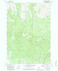
Editions of this 1972 Fall Mountain Map
2 editions found
Other maps of this area

1940 · Mount Vernon
USGS Topo · 1:62,500

1940 · John Day
USGS Topo · 1:62,500

1943 · John Day
USGS Topo · 1:62,500

1943 · Mount Vernon
USGS Topo · 1:62,500

1955 · Canyon City
USGS Topo · 1:250,000

1959 · Canyon City
USGS Topo · 1:250,000

1961 · Logdell
USGS Topo · 1:62,500

1961 · Seneca
USGS Topo · 1:62,500

1972 · John Day
USGS Topo · 1:24,000

1972 · Canyon Mtn
USGS Topo · 1:24,000