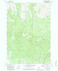
1972 Map of Fall Mountain
USGS Topo · Published 1984About this map
Malheur National Forest dominates this section of Grant County, where the high peaks of the Aldrich Mountains meet the northern edge of Bear Valley. The 1970s landscape is characterized by a dense network of seasonal drainages and named springs that sustained local timber and ranching operations. Significant landmarks include Fall Mountain and Coal Pit Mtn, with a specialized Radio Facility situated on the former's summit.
Find a feature on this map
47 named features on this map. Tap any name to fly to it.
Don’t see what you’re looking for? This feature index may not catch every label — zoom into the map to look around manually.
Map Details
Editions of this 1972 Fall Mountain Map
2 editions found
Other maps of this area

1940 · Mount Vernon
USGS Topo · 1:62,500

1940 · John Day
USGS Topo · 1:62,500

1943 · John Day
USGS Topo · 1:62,500

1943 · Mount Vernon
USGS Topo · 1:62,500

1955 · Canyon City
USGS Topo · 1:250,000

1959 · Canyon City
USGS Topo · 1:250,000

1961 · Logdell
USGS Topo · 1:62,500

1961 · Seneca
USGS Topo · 1:62,500

1972 · John Day
USGS Topo · 1:24,000

1972 · Canyon Mtn
USGS Topo · 1:24,000